United States · Color reference
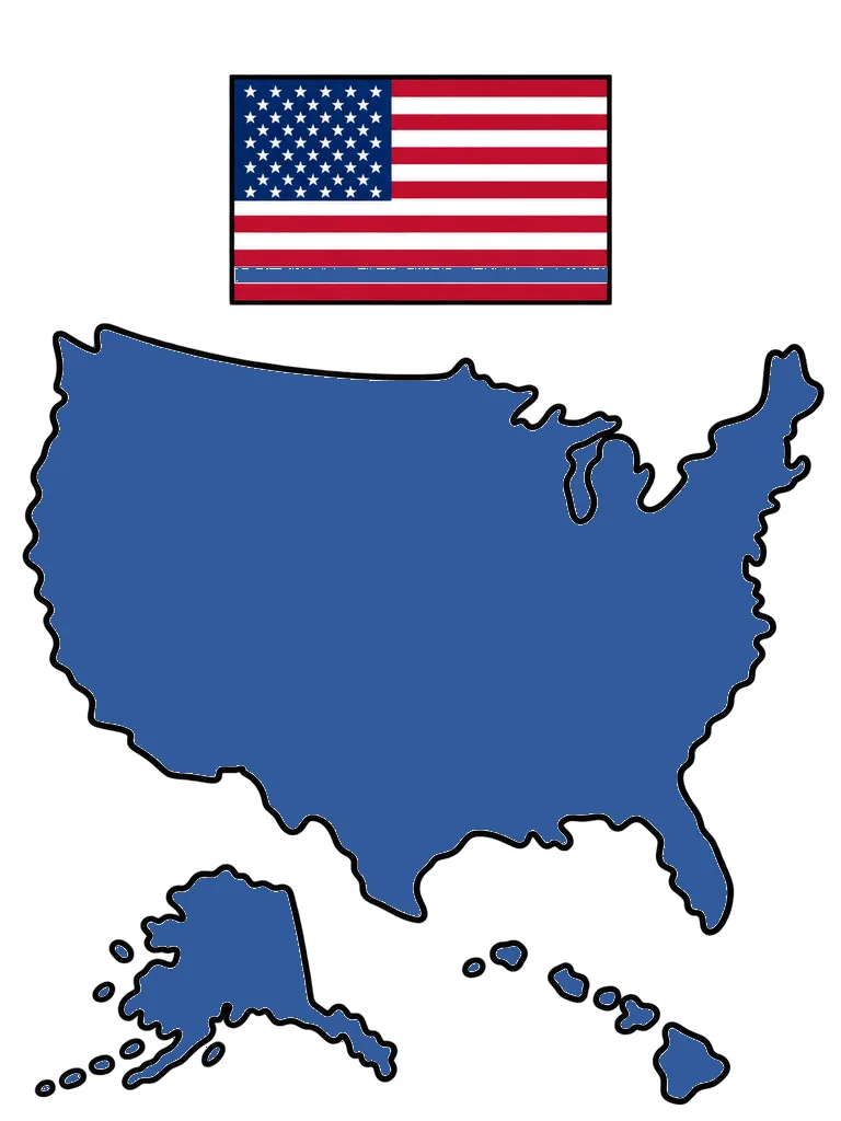
United States Map Coloring Page Color Example
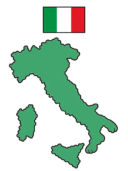
Color example for the United States Map coloring page. The color reference for the United States map, filled with one color, with its flag. Plan your colors, then print the matching line art.
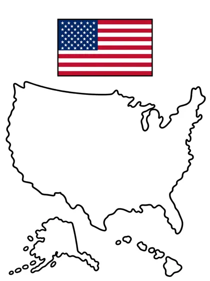
NEW · Color online
Color this page right now
No printer needed. Fill areas in one click, pick suggested colors, and come back later to continue.
Color it with the reference beside you
The left page is the finished version you look at while choosing colors. The right page is the one you print and color. Each downloads separately.
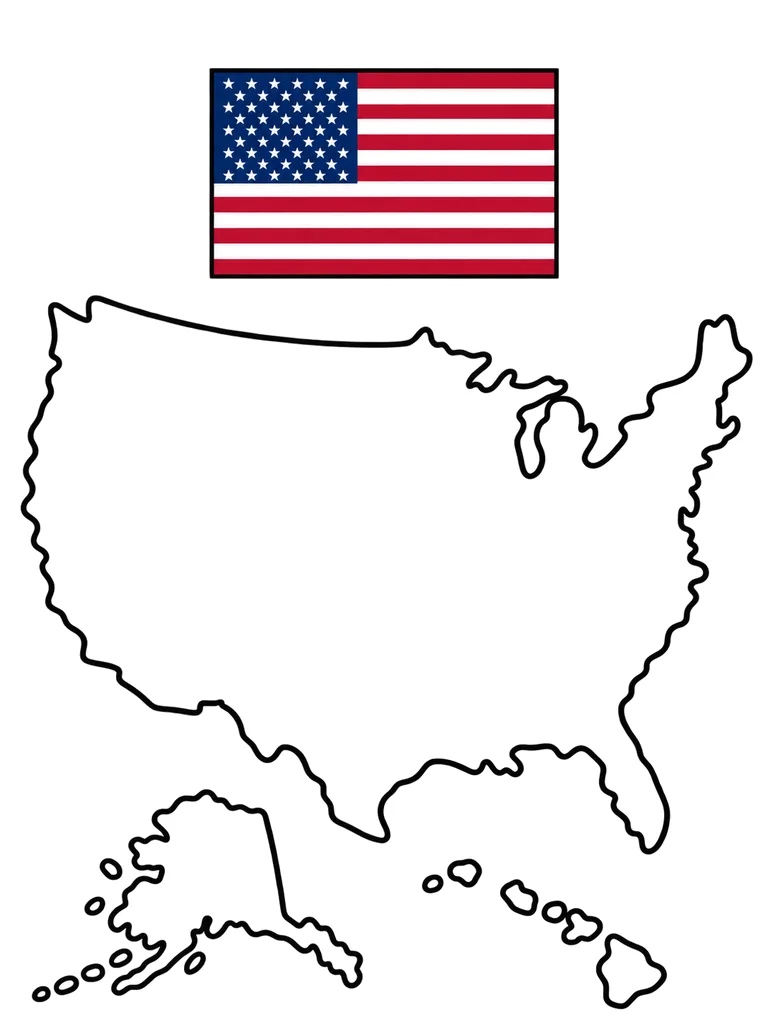
Print this one and color it
Download image20 KBColor it onlineopens a new windowThe file downloads as soon as you press it.
Activity guide for this page
- Recommended age
- Ages 6–9
- Estimated time
- 15–25 min
- Difficulty
- Medium
- Areas to color
- about 14
Coloring order
- On the US map, color the widest land a deep color like the blue of the flag above, following the dent in the upper right edge.
- Color the big separate land on the lower left (Alaska) and the small islands beside it in a matching color.
- Save the small islands on the lower right (Hawaii) for last. You could use the flag's red on one island as an accent.
Questions to talk about
- Where do the two places set apart from the big land sit on this map?
- What would you ride if you traveled across this big land from end to end?
- Have you ever taken a long trip by car or by train?
Take it further
Cut a map shape from thick paper, snip it into three pieces, and fit them back together like a puzzle. Use scissors with a grown-up.
Age and time are rough guides for a child coloring alone with pencils or crayons; every child is different. The area count is an estimate counted from the line-art image.
About this image
Color example for the United States Map coloring page. The color reference for the United States map, filled with one color, with its flag. Plan your colors, then print the matching line art.
A reference with the country shape filled in one color. It sits on the left page of a spread.
Printing and coloring tips
- Print on A4 or Letter in portrait to keep the original proportions.
- Keep the finished version open beside you while you color.
- Use slightly heavier paper with water-based markers so the ink shows through less.
- Fill the large areas first and leave the small ones for later.
- The finished version is only a suggestion. Any colors you like will work.
Good to color next


Related searches
- united states map coloring page
- united states map coloring pages
- united states map coloring example
- country map coloring pages
- map and flag coloring pages
- united states map and flag coloring
- world map coloring with flags
- coloring pages for kids
- free printable coloring pages